L’adret de la Lionne

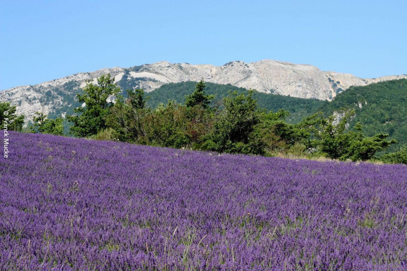
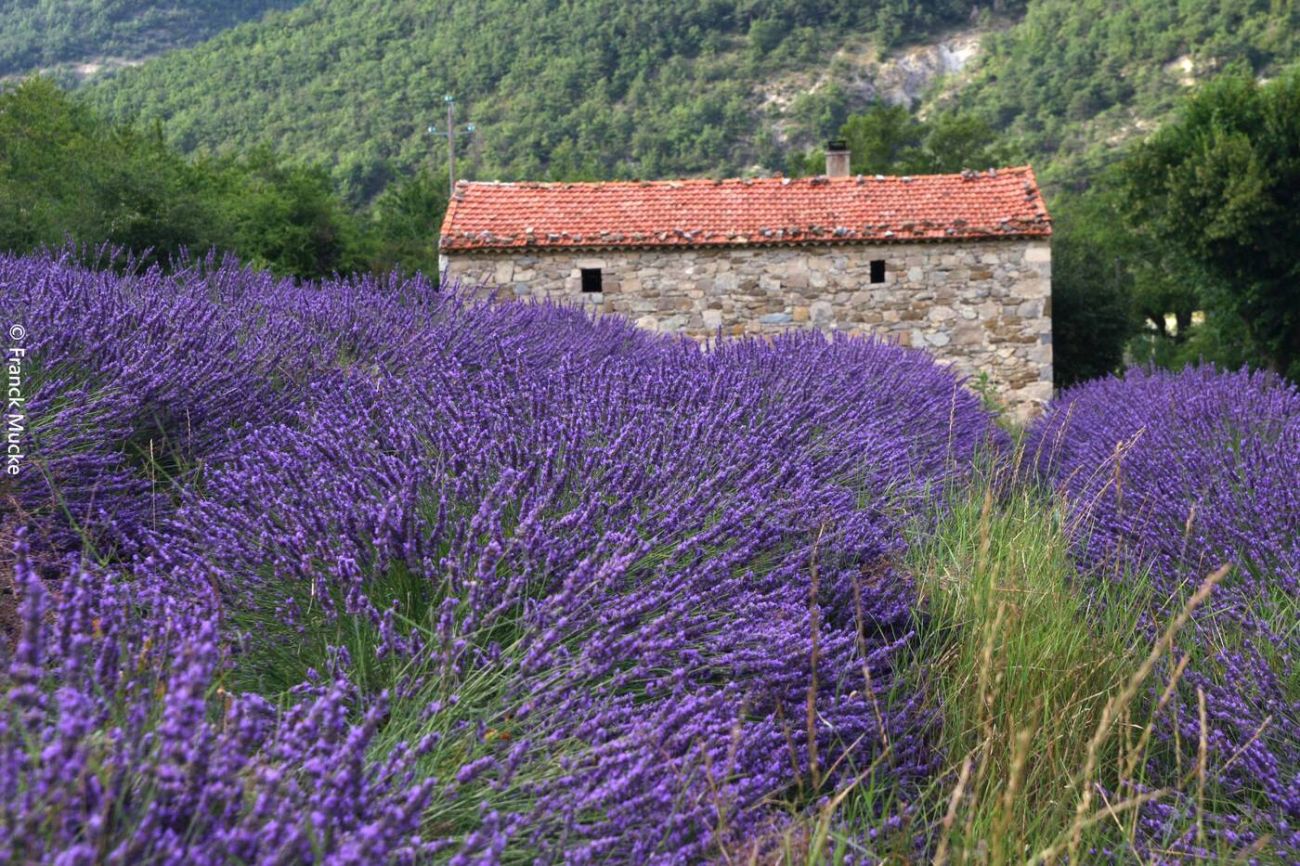
This sporty route with its technical trails will take you from Teyssières to the summit of Cougoir, at 1220m. The 360° panorama gives you a bird's-eye view of the Pays de Dieulefit and the Drôme Provençale valleys.

Description

The 360° panorama will give you a bird's eye view of the Dieulefit region and the Drôme Provençale valleys.

Guidebook with maps/step-by-step

1/ From "l'Auberge de Miélandre" (alt. 620m), go down the D130. At the bend in the road, go straight ahead.
Coordinates: (44.4531874, 5.1546015)
Distance from starting point: 1 m
2/ At "Pied Pourtier" (alt. 650m), follow the track opposite. Rejoin the road at "Teyssières vieux village" (alt. 650m).
Coordinates: (44.4511491, 5.1360317)
Distance from starting point: 2 km
3/ Take the road on the left, 100m after crossing the ford on the right, the track runs alongside the river Lez.
Coordinates: (44.4507248, 5.1318041)
Distance from starting point: 2 km
4/ At "Favières" (alt. 685m), turn left and climb steeply to reach "Col de Lachaud" (alt. 932m).
Coordinates: (44.4470579, 5.1234176)
Distance from starting point: 3 km
5/ Follow the track which climbs slightly then descends to "Les Audries\" (alt. 850m).
Coordinates: (44.438011, 5.1172142)
Distance from starting point: 4 km
6/ Climb to the left to reach "Col la Pause" (alt. 988m).
Coordinates: (44.430496, 5.1196214)
Distance from starting point: 5 km
7/ Follow the field to the left, then take the well-marked path across the meadow, heading south through a gate (to be closed!).
Coordinates: (44.4316637, 5.1290835)
Distance from starting point: 6 km
8/ At "Petit Herme" (alt. 1010m) continue right, slight climb, then technical descent to "Col de Venterol" (alt. 880m).
Coordinates: (44.4299603, 5.129813)
Distance from starting point: 7 km
9/ Climb to the left along the path which leads to a beautiful track leading up to the summit, passing through "La Pousterle\" (alt. 970m). At the end of the track, a short portage to the summit.
Coordinates: (44.4220803, 5.1307921)
Distance from starting point: 8 km
10/ Descend on the single track passing through "Montagne la Croix" (alt. 1180m). Find the "Petit Herme" then the "Col La Pause". Turn right through an old gate. 100m further on, at the milestone, turn right onto the GRP (yellow and red markings), a very technical descent.
Coordinates: (44.4268034, 5.1411442)
Distance from starting point: 11 km
11/ At "L'Adret de la Lionne" (alt. 920m) take a faint path to the right, with very technical sections on the descent.
Coordinates: (44.4392281, 5.1354877)
Distance from starting point: 14 km
12/ At "Pignes" (alt. 710m), go down a good track to the right. Reach "Pied Pourtier" and turn right on the path taken on the outward journey. Return to "l'Auberge de Miélandre" (alt. 620m).
Coordinates: (44.4493319, 5.1358538)
Distance from starting point: 15 km

Spoken languages

  • French

Labels and ranking

  • Open air

Activities

  • Cycling sports
  • Mountain biking itinerary

Opening

All year round daily.

Visit

Individual tour

  • Average Duration of the individual tour: 210 minutes

Rate

Free access.

Situation

Show itinerary

To see the spot on the map, you can fly over the altitude difference below.