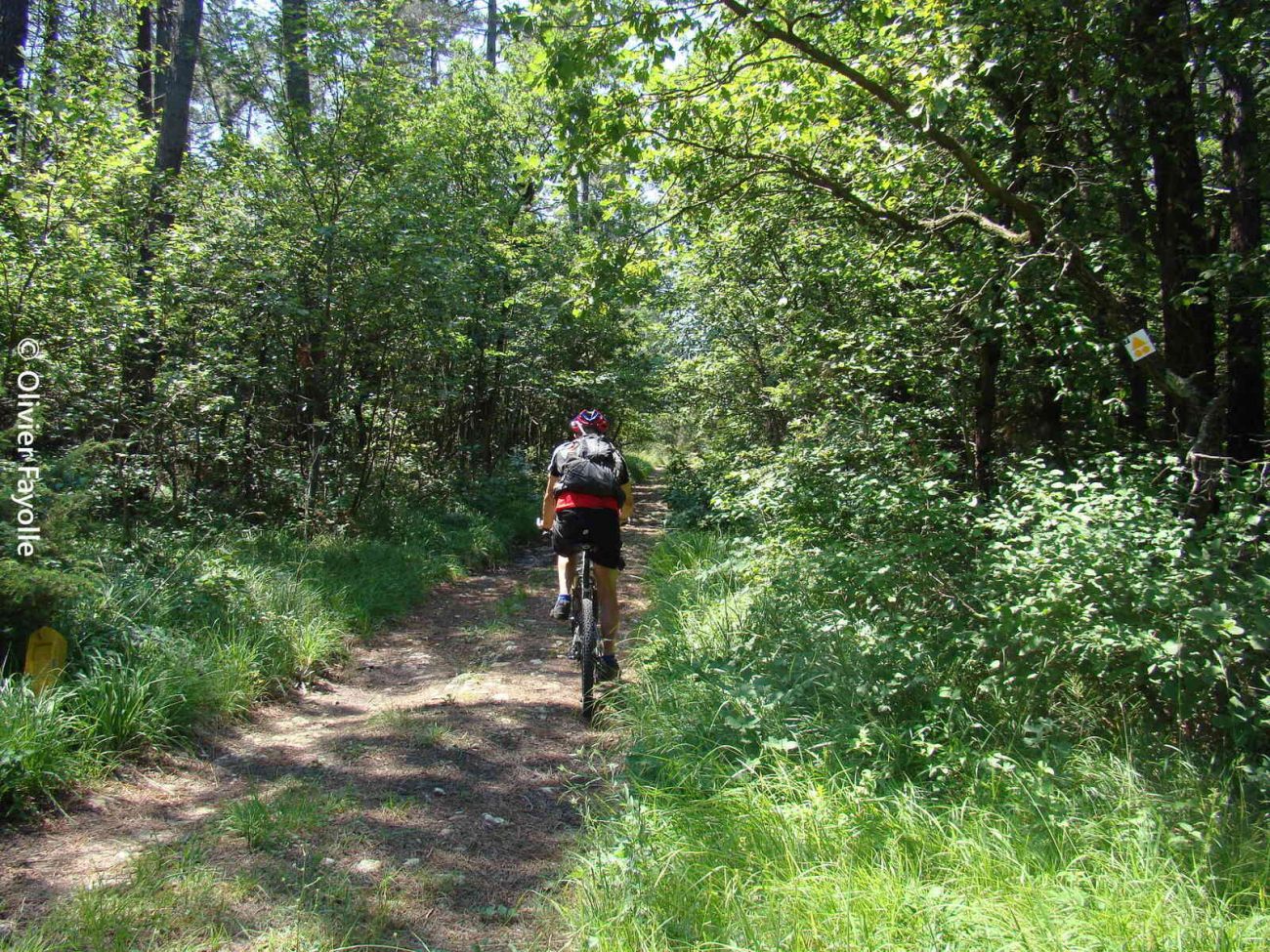
The itinerary alternates between wide paths, small roads and narrow undergrowth passages, offering a wide variety for a first approach to the activity.
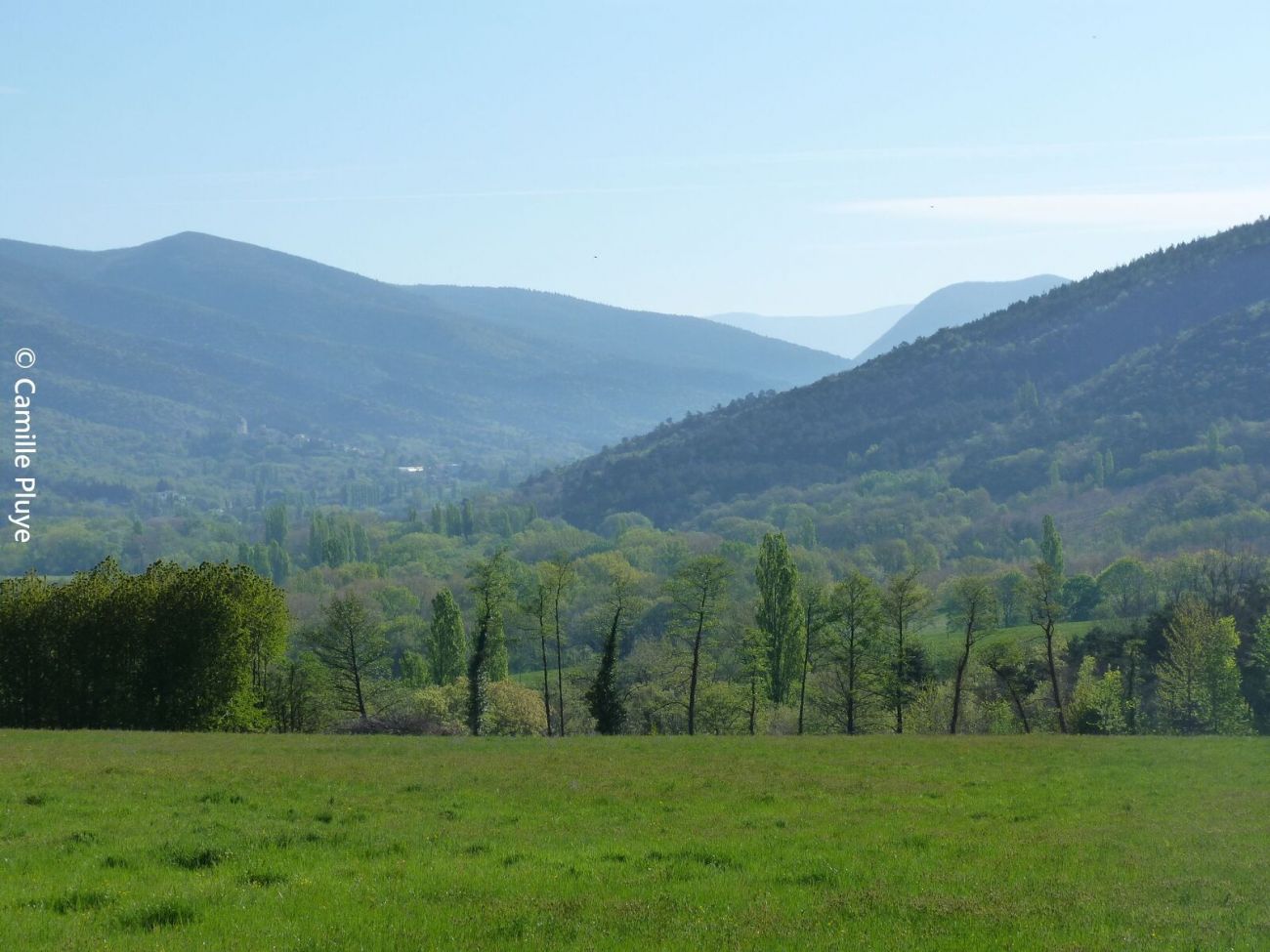
Description
So many varieties that will give you a first approach to the activity if you're a sporty or semi-athletic beginner.
Guidebook with maps/step-by-step
1/ From the village square, take the D540 towards La Bégude-de-Mazenc. Turn left at the first intersection, then cross the Gougne bridge.
Coordinates: (44.530546, 5.0088283)
Distance from starting point: 17 km
2/ Turn right onto a small road, then right again onto a track.
Coordinates: (44.5295066, 5.0196149)
Distance from starting point: 908 m
3/ Follow a small, picturesque road on the left bank of the Jabron, slightly uphill through undergrowth to "Molans\".
Coordinates: (44.5294881, 5.005293)
Distance from starting point: 3 km
4/ Turn right on a track that descends at first and then rises, until you reach a fork.
Coordinates: (44.5209225, 4.986292)
Distance from starting point: 5 km
5/ Go left up a track, which descends further to a ford. At the fork, turn right. Pass a stone building.
Coordinates: (44.5186209, 4.982984)
Distance from starting point: 5 km
6/ Turn right at the lagoon. Follow a track, then a path alongside a river. Further on, turn right, cross the small wooden bridge and arrive at the hamlet of Bridon.
Coordinates: (44.5225872, 4.9763819)
Distance from starting point: 7 km
7/ Turn left onto a grassy path alongside the houses. Further up on the left, follow the path to Espuy (alt. 275m).
Coordinates: (44.5276433, 4.9678751)
Distance from starting point: 8 km
8/ Turn left, cross the stream and take a bucolic path rising through undergrowth, and further along fields to reach a track.
Coordinates: (44.5225117, 4.9604857)
Distance from starting point: 9 km
9/ Turn left on the track to reach the Chabotte estate. Go down the small road, over the small bridge and reach a fork in the road.
Coordinates: (44.5114451, 4.9674482)
Distance from starting point: 11 km
10/ Turn right up the small road alongside the horse pens. Further on, turn left up a steep slope. Rejoin the outward route. At the Gougne bridge, cross the river and turn left onto the D540, then right to reach the finish line.
Coordinates: (44.5233004, 4.9792489)
Distance from start: 7 km
Spoken languages
- French
Labels and ranking
- Open air
Activities
- Cycling sports
- Mountain biking itinerary
Opening
Visit
Individual tour
- Average Duration of the individual tour: 90 minutes
Rate
Situation
To see the spot on the map, you can fly over the altitude difference below.